
North Ridgeville Street Search Walkthrough
Use the address-to-parcel chain before trying to draw conclusions about a household. The official city map helps orient a road segment. The Auditor then connects a physical address to its permanent parcel number, also called a PPN. That number stays useful when a street name is entered differently or when an owner has a separate mailing address. From the parcel card, retain the situs, legal description, sale reference, and document or instrument reference. Those details make the next record search much more precise.
- Locate the road on the North Ridgeville street-index map. It gives corridor and subdivision context, not resident names or ownership.
- Search the Lorain County Auditor GIS Tax Map by address, owner, or PPN. Save the PPN and the property situs before moving on.
- Open the parcel card and separate the location from the deeded-owner and taxpayer mailing fields. Note the sale date, buyer, seller, legal description, and instrument clue when shown.
- Use the GIS map to identify same-street or adjoining parcel polygons one at a time. Each parcel needs its own property-card check.
- Take a sale or legal-description reference to Recorder PAX, then use a documented name and county with Ohio voter tools if a registration check is appropriate. Older household evidence may require an exact-volume library request.
That sequence produces an evidence trail rather than a speculative roster. The Ohio voter lookup begins with a person’s name and county, so it is a follow-up for a documented person, not a public button that lists every household on a road.
North Ridgeville Street Map Start
North Ridgeville’s official map names major corridors including Center Ridge Road, Chestnut Ridge Road, Lorain Road, Avon Belden Road, Bainbridge Road, Root Road, and Lear Nagle Road. It also shows subdivision streets. Use that layout to confirm which segment is intended before querying county tools. This matters where a similar road name, a subdivision road, or a postal label could otherwise send a search to the wrong parcel.
The Lorain County GIS Portal is the source for the map-view service shown here.
The GIS portal complements the city map by placing parcel boundaries and property information on a spatial view. It does not establish who currently occupies a parcel.
North Ridgeville Street Parcel Fields
The Auditor’s entry page explicitly offers Parcel, Owner, or Address searching. Address is the practical start for a North Ridgeville street directory investigation. Owner searching can require spelling, trust, estate, entity, or joint-owner variations. PPN is the stable bridge among the tax record, GIS polygon, and legal-description work. The landing page does not publish all dynamic criteria or validation rules, so do not assume a ZIP-only search exists.
| Auditor control | How it works | Street-search use |
|---|---|---|
| Search by Parcel, Owner or Address | One search value is needed to proceed. | Find the situs, legal owner, or known PPN. |
| Parcel Viewer | Linked browse mode from the tax-map hub. | Move from a search result toward a property and map view. |
| GIS Portal | Linked ArcGIS route. | Browse parcel position and inspect individual map popups. |
| GIS Open Data Portal Site | Dataset-discovery route. | Find map data, not a person lookup. |
The Auditor GIS Tax Map is the source for those documented search modes.
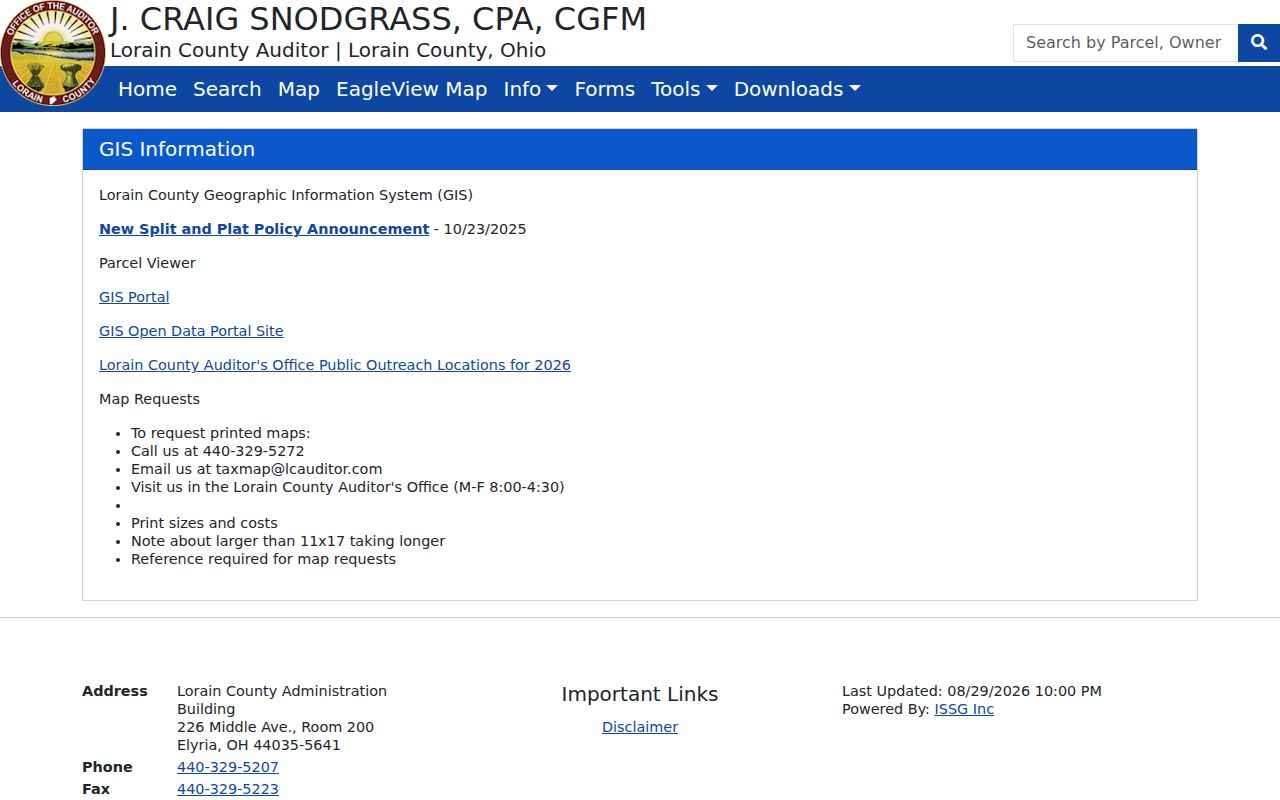
A result can point to one property record. It should be read as a parcel and ownership record, not as proof of every person connected to that address.
North Ridgeville Street GIS Selection
GIS searching has its own documented steps. Select Owner, Address, or PPN from the search-mode dropdown, enter a phrase, and use Select or Identify on the map. If a full address fails, the official guide advises trying the street number plus street name and then choosing a match. A parcel popup can show its PPN, owner, address, last sale date and price, with a printable property report route.
For a street segment, pan and zoom to the parcel of interest, then select adjoining or same-street polygons individually. The research did not verify a one-click all-residents list, radius tool, buffer function, bulk-neighbor tool, or bulk street export. Map order is useful for orientation. It is not a synthesized directory of people.
North Ridgeville Street Deed Trail
Recorder PAX is the document layer after the parcel search. The Recorder’s guide describes name, parcel-number, and date searching and says a selected result can open an instrument image. PAX requires account creation, login, and acceptance of its disclaimer. Its documented Name Search, Advanced/Legal Search, Instrument Search, and History modes make it possible to carry forward a party name, recorded date, legal description, Instrument ID, or Book and Page reference from the Auditor record.
Use the seller or grantor named in a current acquisition as a possible earlier grantee, then keep the legal description, lot, subdivision, or PPN continuous. A street address alone is not enough because recorded deeds may use lot-and-block or metes-and-bounds language. The Recorder has not published a verified online-index start year. A web miss therefore does not prove that a deed never existed.
The Lorain County Recorder PAX search is the documented portal for the instrument route.
When the needed time period is not online, ask the Recorder about original books, indices, microfilm, or terminal sources instead of assuming that the current PAX result is complete.
North Ridgeville Street Address Files
City records can add a dated property or project layer. The Building Division’s records can tie an application to a construction site, PPN, owner, contractor, and project context. Planning Commission, Board of Zoning and Building Appeals, council, zoning, and code-maintenance material may also be requested by a defined address, parcel, date, or file number. These are address-specific records, not continuous resident files.
Use a narrow public-records request when an item is not posted online. Ohio Revised Code §149.43 gives access to existing non-exempt records, but does not require a city office to compile a new life history or locate every reference to a person. Give the record series, site address or PPN, date range, desired medium, and contact method. That helps staff locate a defined file while respecting redactions.
The North Ridgeville Building Division is the source for the city building route.
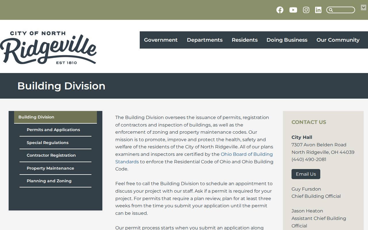
Use the city route to confirm a project or approval record associated with a site. It cannot confirm every person who has lived at that address.
The city permits and applications route identifies the application channel for defined address and project research.
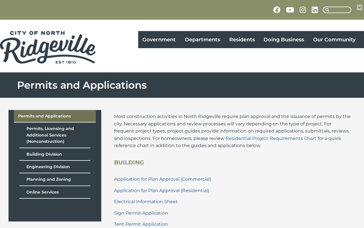
Use an address, PPN, and date range when asking whether a specific application or permit file exists. The research did not verify a public historic permit-index search.
The North Ridgeville public-records route is the city channel for a request that identifies an existing record series.
A request should seek a defined address file, project, permit, or board record. It should not ask the city to construct a resident list from unrelated records.
North Ridgeville Street Records Coverage
Address-keyed sources have different strengths. Reading them side by side prevents a parcel, mailing, or historical record from being overstated as current occupancy evidence.
| Address record | Keeper or route | What it can show | Boundary |
|---|---|---|---|
| Property roll and parcel card | Lorain County Auditor | PPN, situs, owner, mailing fields, value, legal description, sales, and improvements | Not a household roster or occupancy certification |
| GIS parcel viewer | Auditor hub and GIS portal | Parcel boundaries, map location, owner and address popup | Parcels must be inspected one at a time |
| Recorded instrument | Recorder PAX and Recorder counter | Recorded parties, dates, legal filters, instrument references, and images | Login required; online historical cutoff is not verified |
| Tax duplicate | Records Retention Center | Assessed-owner and property chronology on microfilm from 1824 | Helpful continuity evidence, not a title opinion |
| Building or planning file | City Building or Clerk route | Site, PPN, owner or applicant, contractor, project, and approval context | No verified historic permit-index search |
The parcel number and legal description connect the strongest sources. A street name connects locations, but may not be the exact key used by a deed or tax record.
North Ridgeville Street History Variants
Street research can become historical research when the current address appears in an older directory, tax list, cemetery item, or census record. The area has appeared under Rootstown, Ridgeville Township, Ridgeville, and North Ridgeville. The post-office and civic name changed to North Ridgeville in 1829, and Lorain County organized in 1824. Older records can therefore use an earlier locality name or, for 1820 work, a neighboring county context rather than the present city label.
- Parcel
- A defined piece of land in the county tax and map system, commonly tracked with a PPN.
- Situs address
- The physical location of the taxable parcel. It is distinct from a mailed tax or owner address.
- Plat
- A recorded map that lays out lots, blocks, streets, or subdivisions and can support legal-description work.
- Criss-cross directory
- A reverse-style directory arranged by address rather than by name. No continuous North Ridgeville run has been verified.
For an earlier household trail, use the previous residents search after anchoring the current parcel and legal description. Library directories and census material require an exact volume or era check.
North Ridgeville Street Directory Limits
Several records stay out of a street search. Publicly owned utility-usage information that names a specific residential customer is exempt. DMV addresses are restricted under Ohio and federal driver-record rules. Protected voter records and Safe at Home participants cannot be uncovered by combining property, map, or records-request tools. A parcel card can list a current owner, owner mailing address, taxpayer mailing address, and a situs. Those labels may coincide, but they can also refer to a trust, estate, relative, business, or another correspondence recipient.
Recorded deeds name parties to a document, usually not non-owner occupants. Permits can name an applicant, contractor, or owner connected with a project. Historical directories are voluntary and omit people. The city has no verified public historic permit index, and no continuous local reverse-directory range has been confirmed. Treat each record as dated, purpose-specific evidence.
Lawful use. Use North Ridgeville address records for personal, lawful research and respect protected information. Stalking, harassment, intimidation, or harm is prohibited.
North Ridgeville Street Evidence Roles
The Auditor property card, GIS view, and Recorder PAX should be read as three linked but different address tools. The card supplies structured tax and owner data. GIS supplies spatial context. PAX supplies recorded-document research. Keeping those roles separate is especially useful on a growing city’s ridge roads and later subdivision streets.
Note: Lorain County’s 2025 Recorder digitization project may improve access, but it does not establish that every historic deed or mortgage image is already online.